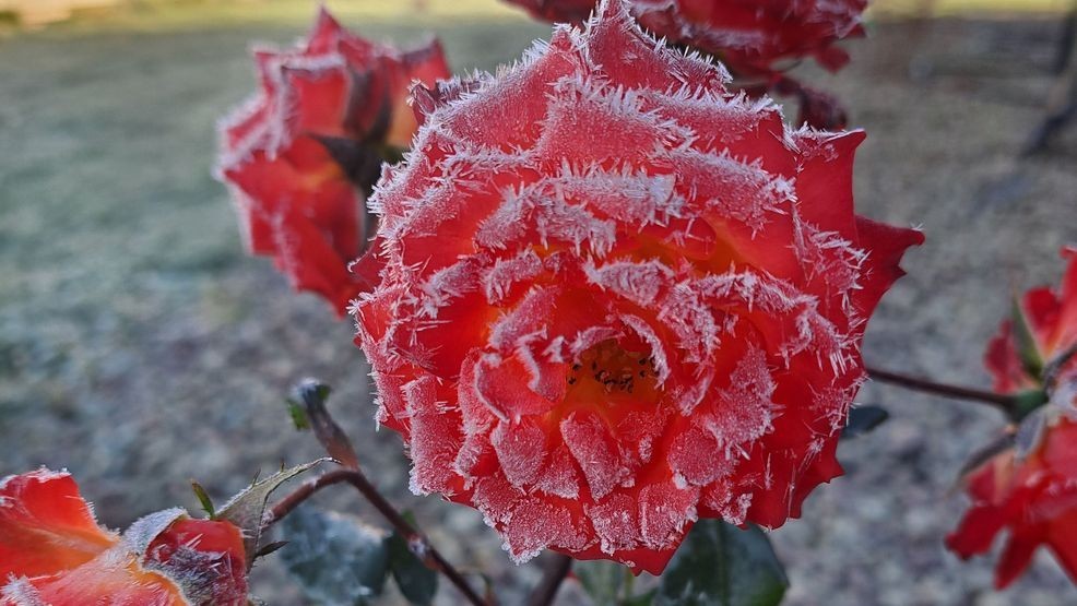
Since skies will remain clear Wednesday night alongside nearly no wind and a chilly Canadian airmass, I am expecting many spots to drop into the 30s with the highest risk for frost we have seen all season.
Here are the official areas that have frost advisories/freeze warnings:
While I agree that many spots within the counties outlined above will have a high risk for frost late Wednesday night through early Thursday morning, I think that some portions of Onondaga, Cayuga, Seneca and other counties not in any official alert may still get some localized frost.
Here are my forecast lows by Thursday morning for the immediate CNY area:
While thicker frost is likely when temperatures officially hit 32 degrees or lower at official reporting stations, you can receive frost at ground level even when official stations report temperatures between 33 and 37 degrees!
Here is why and a quick overview of how frost forms:
In short, official air temperatures are taken at around 5 to 6 feet above ground level. However, cold air sinks and can get down another 4 to 5 or so degrees lower at ground level where frost can form on grass, the ground and other flowers and vegetation closer to ground level.
Therefore, when looking at the forecast low temperatures above, if your area is between 33 and 37 degrees, I cannot rule out some frost for you. So I would take the same precautions!
If you have temperatures closer to 32 degrees or lower, then frost will be thicker and more widespread.
Here are maps of the “average date” of the first frost of the season:
Interestingly, everyone in the light blue or dark blue shading above typically should see its first frost by October 1st.
However, areas in green, which will likely see frost tonight is about 5 to 12 days ahead of schedule. It will be interesting to see if downtown Syracuse and places in the yellow or orange shading above will see frost or not.
My feeling is that if you live near Lake Ontario and right next to the Finger Lakes, you are probably not going to see much frost, if any. If you live near Oneida Lake, the best chance of not seeing frost will be on the south side of Oneida Lake.
Elsewhere, I would take precautions to prevent frost damage to your gardens and crops!
A frost advisory means that cold temperatures will reach the dew (frost) point and cause frost across parts or all of the counties listed above. Sensitive outdoor plants may be killed if left uncovered.
A freeze warning means that temperatures below 32 are highly likely for the warned area for a few hours. These conditions will kill unprotected crops and other sensitive vegetation, effectively ending the growing season.
If your area has a frost advisory/freeze warning or are in one of the areas I have described that may see frost, here is what you should do:
— Farmers and gardeners in these areas should take precaution to extend the growing season.
— To protect crops, gardens and outdoor plants, click on this link for tips.
Both low and high temperatures after Thursday will increase notably. In fact, near record high temperatures are possible by the end of the weekend!
It’s part of our next weather makers:
Here are my forecast highs for the next 7 days with a comparison to average levels:
For more specifics about what’s next, watch my forecast below:
