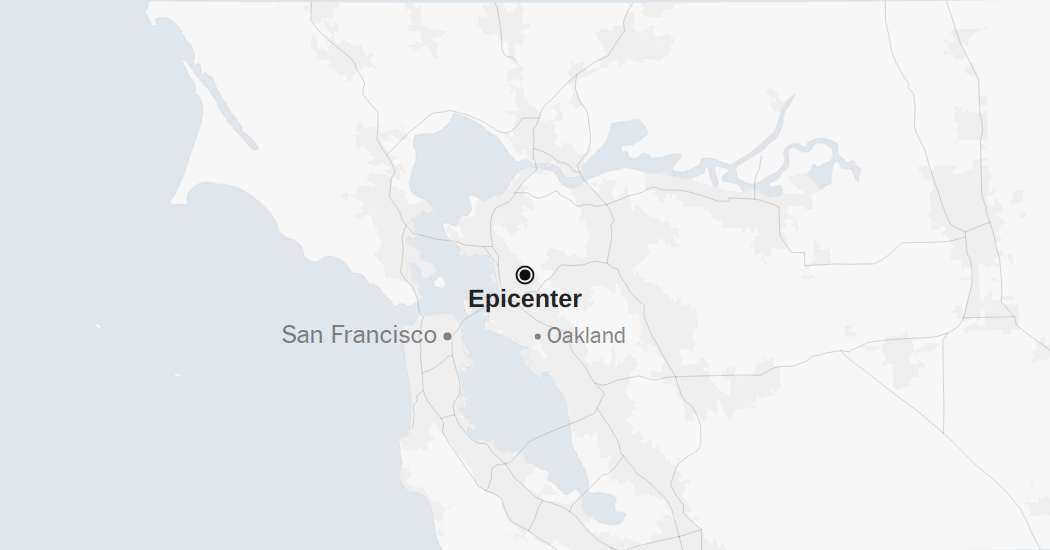
A minor, 3.1-magnitude earthquake struck in the San Francisco Bay Area on Thursday, according to the United States Geological Survey. The quake rattled the region less than an hour before an annual earthquake drill called International ShakeOut Day.
The drill is held annually on the third Thursday of every October. People around the world practice what they should do during a big earthquake through drills at schools and offices. In California, more than 10 million people were expected to participate.
The temblor happened at 9:23 a.m. Pacific time about 1 mile east of Berkeley, Calif., data from the U.S.G.S. shows.
The quake also occurred one day before the anniversary of the deadly magnitude 6.9 Loma Prieta earthquake that shook the Bay Area on Oct. 17, 1989 and killed 63 people. The epicenter of that quake was in the Santa Cruz Mountains, 60 miles southeast of San Francisco. Thousands of buildings were damaged and a span of the San Francisco-Oakland Bay Bridge collapsed.
As seismologists review available data, they may revise the earthquake’s reported magnitude. Additional information collected about the earthquake may also prompt U.S.G.S. scientists to update the shake-severity map.
Aftershocks in the region
An aftershock is usually a smaller earthquake that follows a larger one in the same general area. Aftershocks are typically minor adjustments along the portion of a fault that slipped at the time of the initial earthquake.
Quakes and aftershocks within 100 miles
Aftershocks can occur days, weeks or even years after the first earthquake. These events can be of equal or larger magnitude to the initial earthquake, and they can continue to affect already damaged locations.
When quakes and aftershocks occurred
Source: United States Geological Survey | Notes: Shaking categories are based on the Modified Mercalli Intensity scale. When aftershock data is available, the corresponding maps and charts include earthquakes within 100 miles and seven days of the initial quake. All times above are Pacific time. Shake data is as of Thursday, Oct. 16 at 12:37 p.m. Eastern. Aftershocks data is as of Thursday, Oct. 16 at 12:54 p.m. Eastern.
Maps: Daylight (urban areas); MapLibre (map rendering); Natural Earth (roads, labels, terrain); Protomaps (map tiles)
