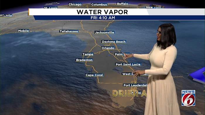
ORLANDO, Fla. – Central Florida awakened to cooler air Friday morning.
Temperatures at sunrise were about 5 to 10 degrees lower than Thursday, making that light jacket a good call.
Afternoon highs will reach the 80s.
But there’s a much bigger chill expected to arrive as a strong cold front is set to move into the region starting next Thursday, bringing the coolest temperatures Central Florida has seen this season.
Morning lows on Halloween are forecast to drop into the 40s and 50s!
Daytime highs next Friday are predicted to reach the 70s across much of Central Florida.
The front is expected to mark a quick turn from the recent warmth and could mean a particularly chilly start for trick-or-treaters as Halloween approaches.
Weekend warms up
Before that big cooldown settles in, the weekend is looking warmer and just a bit humid.
Afternoon highs across the region will stick in the low to mid-80s through Sunday, with mostly sunny skies predicted for Saturday.
Winds out of the northeast are expected to stay breezy, generally in the 10 to 15 mph range, with gusts along the coast potentially hitting 20 to 25 mph.
If you’re headed to the beach, the risk of rip currents will remain high through Sunday night.
While most of the weekend will be dry, there’s a 20% chance of isolated showers early Sunday morning, mainly south and east of the I-4 corridor. Spotty showers could carry on into Sunday afternoon, but significant rainfall isn’t in the forecast.
[VIDEO BELOW: 6 Things To Do this weekend]
Tropical Storm Melissa
While Central Florida’s weather is taking a turn, we continue to monitor Tropical Storm Melissa in the Caribbean.
As of 5 a.m. Friday, the storm had sustained winds of 45 mph and was stationary.
Melissa is expected to slowly intensify, with forecasts calling for hurricane status by Saturday afternoon, possibly reaching winds of 75 mph.
The storm could grow into a Category 4 hurricane over warm waters as early as Monday morning, with winds potentially getting up to 145 mph.
Jamaica, Hispaniola and Cuba are most likely to see heavy rains and intense winds.
Copyright 2025 by WKMG ClickOrlando – All rights reserved.
